Article 13 of 13
From Mars Swarms to Titan Rotorcraft: Next-Generation Extraterrestrial Flight Systems Take Shape
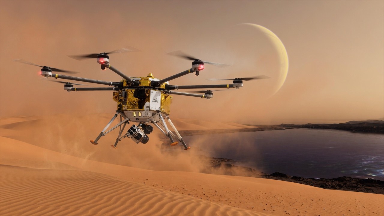
Aerial Robotics & Autonomous Drones Push Boundaries in Planetary Exploration
Summary
Building on the legacy of NASA's Ingenuity helicopter on Mars, planetary scientists and aerospace roboticists are expanding autonomous aerial vehicle designs for extreme extraterrestrial atmospheres. From multi-drone planetary survey fleets like NASA's SkyFall concept to the rotorcraft lander Dragonfly heading to Saturn's moon Titan, airborne robotics are becoming indispensable tools for deep-space exploration.
Deep Dive: Overcoming Atmospheric & Communication Limits
Operating autonomous flight platforms on other planetary bodies presents extreme engineering constraints. Thin atmospheric densities require specialized ultra-light rotor blades spinning at near-supersonic speeds, while multi-minute signal delays back to Earth demand full onboard flight autonomy.
Atmospheric Density vs. Flight Design
Mars Atmosphere (~1% Earth Density)
Ultra-light Carbon Rotors + Mach 0.9–1.1 Rotor Tip Speeds
Titan Atmosphere (~4x Earth Density)
Heavy-Payload Octocopter Architecture + Radioisotope Power
Key Engineering Milestones in Extraterrestrial Flight
- Supersonic Rotor Blade Design: NASA JPL tests demonstrate specialized carbon-fiber rotor tips exceeding Mach 1, generating high lift in ultra-thin Martian gas mixtures.
- Real-Time Visual Inertial Odometry (VIO): Without GPS arrays in deep space, planetary aerial drones use high-frame-rate downward cameras and IMUs to build terrain hazard maps on the fly, identifying safe landing spots autonomously.
- Mid-Air Deployment Concepts: Future drone concepts (such as the multi-rotor SkyFall architecture) incorporate mid-air drop deployments directly during atmospheric entry and descent, eliminating the need for traditional heavy surface rovers to carry them.
Key Takeaways for Aerospace & Robotics Engineers
- Unlocking Inaccessible Terrain: Aerial platforms can survey steep craters, icy cliffs, and volcanic lava tubes that traditional wheeled rovers cannot traverse.
- Earth-Bound Spinoff Technologies: Algorithmic advances in low-power visual navigation and GPS-denied localization developed for deep space are directly benefiting defense, search-and-rescue, and subterranean survey drones on Earth.
- Multi-Vehicle Aerial Swarms: Planetary exploration is evolving from single demonstrator craft toward autonomous multi-drone fleets capable of collaborative mesh networking and wide-area subsurface radar mapping.
Design the flight around the air you have
Thin air and thick air are different machines
A rotor has to grab the air that is actually there. On Mars the air is so thin that the blades must be light and spin very fast to make lift. Ingenuity showed that this can work for a small craft. On Titan the air is thick, so a rotor can lift more, and cold and distance become the harder problems. Dragonfly is the mission shaped for that thick air. You do not need the full story of each mission to use the contrast. A flying machine is designed for its air, not copied from a photo of a drone over a field on Earth. Copying a hobby frame onto a cold, thin, or dusty job writes the specification from the wrong example.
Decide without a joystick
A radio signal to Mars or Titan can take minutes. Nobody lands the craft by hand from Earth. It has to see the ground, pick a flat spot, and commit. Cameras and motion sensors do that work because there is no satellite navigation there. Visual inertial odometry means the camera watches how the ground shifts in the picture, the motion sensors measure the shove, and the two estimates say where the craft went. A shop meets a smaller version of that problem when a mobile camera cannot trust a perfect map. Give the camera a textured surface it can see, light that does not wash the lens, and a written meaning of "flat and safe" for your aisle or your yard.
Bring the picture home
Bridge, tank, and corridor inspections already lose GPS and already must fly a few seconds without a pilot's correction. Ask an inspection drone what it does when the picture goes blank, how it marks a spot it refused, and whether the map comes home with the video. A drone that can fly only in open sky has not solved that problem. Swarms and mid-air releases matter when one craft cannot see the whole area. A plant usually needs one platform that returns, a picture a person can trust, and a battery swap that does not take the afternoon. Match the rotor, the power, and the navigation to the air, the light, and the times the radio will fail. That is the part of these missions you can use on Earth this year.
Suggested Website Tags
Help setting up a robot cell: choose the hardware, lay out the cell in software, and membership support for $19.99 a month.